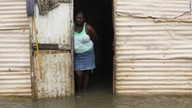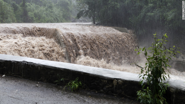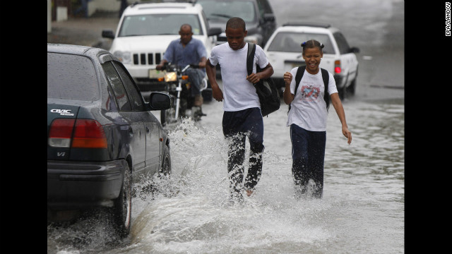
Dubbed “Superstorm” by the media and “Frankenstorm” by the National Oceanic and Atmospheric Administration, Hurricane Sandy cut a swathe of destruction across Haiti, Jamaica and Cuba, leaving 28 people dead and many injured.
The pre-Halloween hybrid weather monster that federal forecasters call “Frankenstorm” is looking more ominous by the hour for the East Coast, and utilities and local governments are getting ready.
Hurricane Sandy, having blown through Haiti and Cuba and leaving nearly 30 dead, continues to barrel north as the lowest category hurricane, just as a wintry storm is moving across the U.S. from the west, and frigid air streams south from Canada.
And if they meet Tuesday morning around New York or New Jersey, as forecasters predict, they could create a big, wet mess that settles over the nation’s most heavily populated corridor and reaches as far west as Ohio.
Meteorologists expect a natural horror show of high wind, heavy rain, extreme tides and maybe snow to the west beginning early Sunday, peaking with the arrival of Hurricane Sandy on Tuesday and lingering past Halloween on Wednesday.
“It’s looking like a very serious storm that could be historic,” said Jeff Masters, meteorology director of the forecasting service Weather Underground. With a rare mix of three big merging weather systems over a densely populated region, experts predict at least $1 billion in damage.CBS News hurricane consultant David Bernard reports that Sandy, which has weakened to a Category 1 storm since Thursday, will likely run parallel to the East Coast through Sunday night into Monday morning, when it will be just east of North Carolina’s Outer Banks.
On Monday, Sandy is forecast to shift westward and hit anywhere from as far south as Chesapeake Bay up to New York’s Long Island or southern New England, Bernard reports.In Dania Beach, Fla., CBS News correspondent Manuel Bojorquez reports the Sunshine State has been feeling Sandy’s effects already for 24 hours, and the storm still has the potential to bring high winds and heavy rains.
The National Oceanic and Atmospheric Administration said Friday that wherever the storm comes ashore, there will be 10 inches of rain and extreme storm surges. Up to 2 feet of snow should fall on West Virginia, with lighter snow in parts of Ohio and Pennsylvania. – Continue Reading Here
